Drone photography for real estate developers: what to show and how to use it in sales
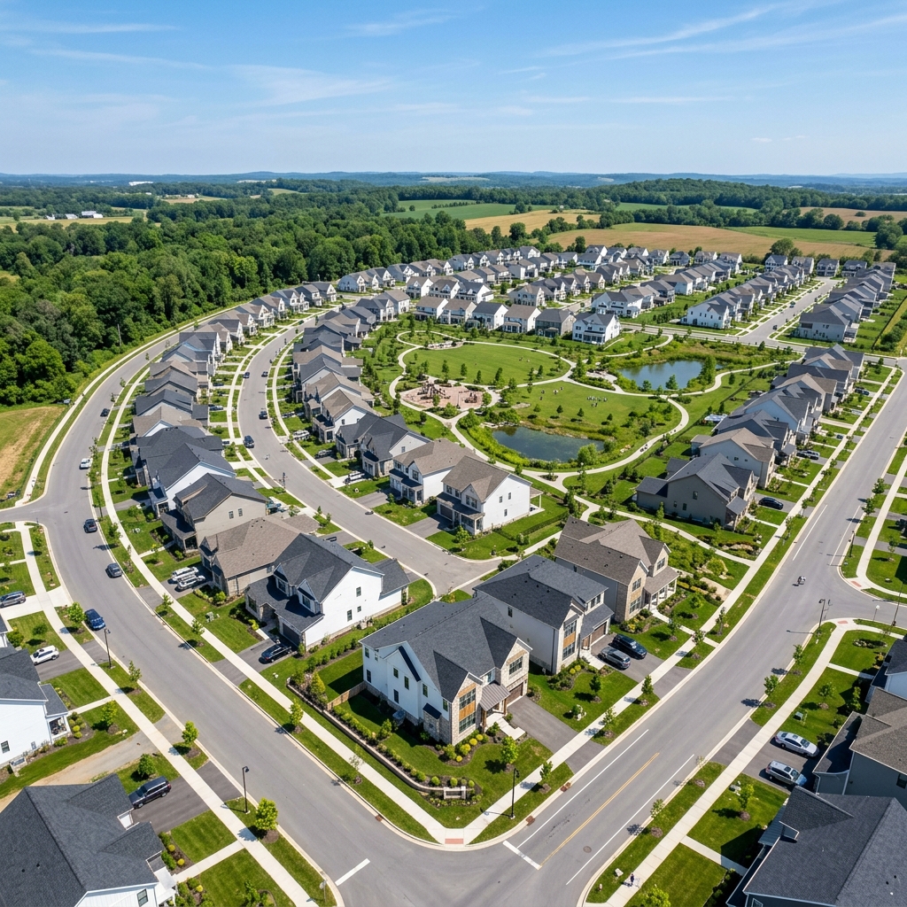
The real estate market keeps getting more competitive. Before potential buyers decide to visit a construction site, they research the development online in detail. This is where drones come in: aerial photography and video are now standard practice in real estate development marketing.
What can you show with a drone?
- The development in context: A drone shows where the site sits within the city. From above, buyers can clearly see how far it is to parks, schools, transit hubs and bodies of water.
- Construction progress: Regular aerial shoots (for example, once a month) give investors clear documentation that builds transparency and trust.
- Previews of the view from the window: Before the top floor is built, a drone can hover at a specific height and take a photo that the developer uses in listings as “The view from your future balcony.”
How to use the footage effectively
Drone footage brings the most value when you build it into your sales funnel in these 3 places:
- Landing page and homepage: A short looping drone video (a cinemagraph) at the very top of the page grabs attention immediately.
- Virtual tours and site overlays: Top-down (nadir) drone photos can serve as a base layer on which a 3D artist places a lifelike rendering of the development.
- Social media: Dynamic B-roll and hyperlapse shots perform well on Instagram, TikTok and in Facebook campaigns, where they generate low-cost, high-quality leads.